Ultrabeam Hydrographic delivers high-definition subsea mapping and 3D visualisation of in-water structures using state-of-the-art precision sonar and laser technology.
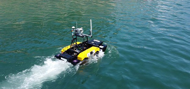
Hydrographic & geophysical survey
Ultrabeam Hydrographic specialises in geophysical site evaluation for marine infrastructure, energy, and environmental applications.
UXO survey
Ultrabeam provides integrated geophysical survey solutions specifically designed for the efficient detection and localisation of seabed UXO.
Cable & pipeline route survey and inspection
Ultrabeam’s team brings extensive experience in mapping subsea corridors for planned cable and pipeline installations, as well as inspecting existing infrastructure.
Port & harbour surveys
Ultrabeam Hydrographic specialises in high-definition port and harbour surveys, combining precision sonar and laser technology to deliver comprehensive structural assessments.
Data processing & reporting
At Ultrabeam Hydrographic, we use advanced data processing and visualisation software to transform raw survey data into clear, actionable outputs tailored to your project’s needs.