Route Mapping and Inspection
Ultrabeam’s team brings extensive experience in mapping subsea corridors for planned cable and pipeline installations, as well as inspecting existing infrastructure. Our projects span a wide range—from coastal long sea outfalls to high-pressure gas mains and interconnector cables running hundreds of kilometres across the seabed.
We deliver a suite of sonar and visual inspection techniques, including advanced depth-of-burial mapping for buried services.
This includes the use of electromagnetic and acoustic sub-bottom imaging systems such as the Pangeo SBI.
Whether clients require a simple monitoring snapshot via side-scan sonar or a full baseline survey with cathodic protection (CP) field measurements, Ultrabeam offers tailored, integrated survey packages to meet specific project requirements.


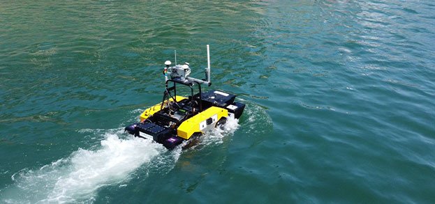
Depending on site conditions and water depth, we deploy either surface-based sensors from survey vessels or ROV-mounted equipment for high-resolution inspection and visual assessment.
For shallow water, we operate our own observation-class ROVs; for deeper water operations, we work with trusted specialist partners to deliver complete subsea inspection solutions.
Backed by decades of experience with projects successfully completed throughout the UK, Europe, Middle East, Africa and Asia we’re ready to deploy our team and unique equipment wherever your next challenging project takes you.
View our services