UXO-Specific Geophysical Survey
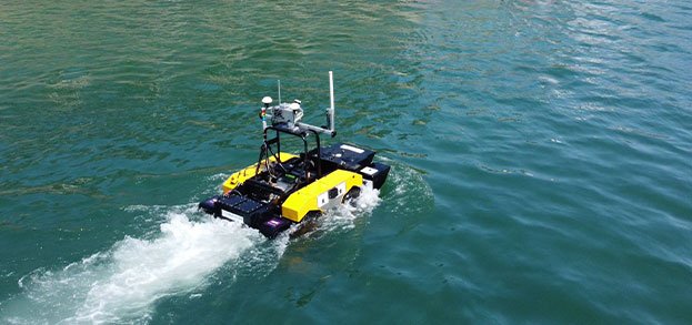
Large sections of the UK and northern European seabed were extensively mined during both World Wars, leaving behind Unexploded Ordnance (UXO) that still poses a significant risk to coastal and offshore infrastructure projects. Ultrabeam provides integrated geophysical survey solutions specifically designed for the efficient detection and localisation of seabed UXO.
Our surveys are tailored to detect both ferrous and non-ferrous ordnance across various water depths.
We deploy multiple sensor systems simultaneously—optimised to maximise seabed coverage and sensitivity—targeting objects both on the surface and shallowly buried beneath the seabed.
Sensor configurations include high-frequency side-scan sonar, multi-sensor magnetometer arrays, acoustic seabed imaging, and electromagnetic systems. Ultrabeam also offers expert survey planning and, where needed, referral to specialist UXO risk management consultants to support end-to-end project safety and compliance.

Backed by decades of experience with projects successfully completed throughout the UK, Europe, Middle East, Africa and Asia we’re ready to deploy our team and unique equipment wherever your next challenging project takes you.
View our services